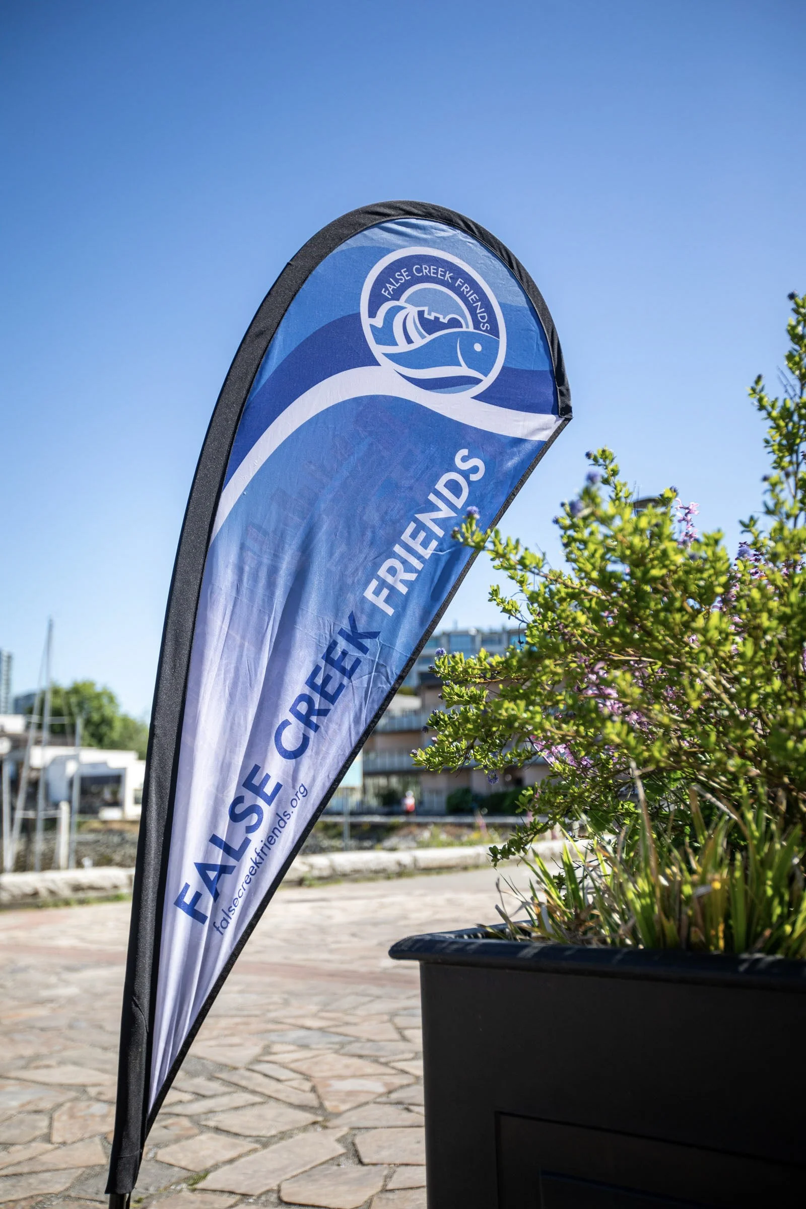
False Creek
Festival 2026
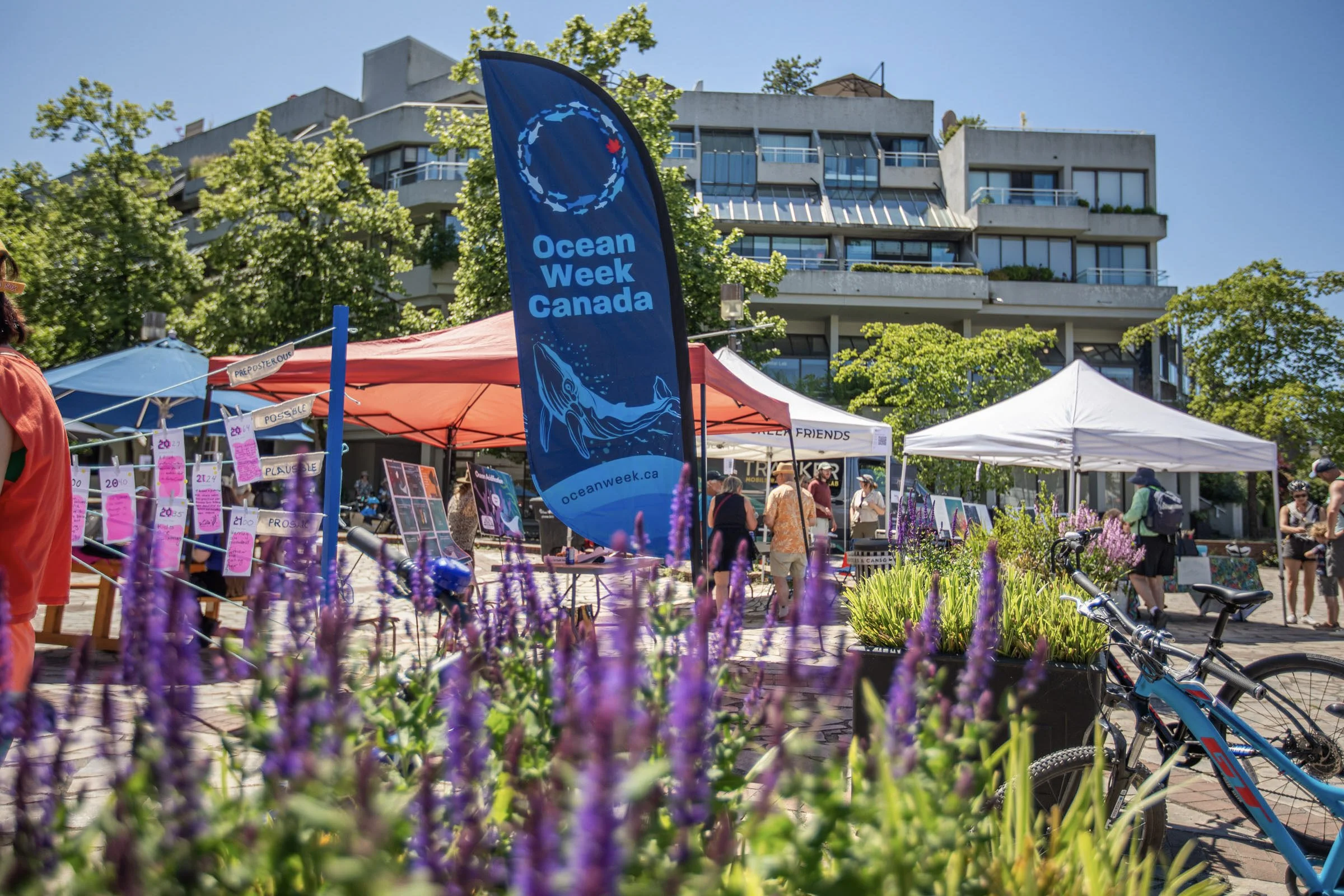
Celebrate World Oceans Week with us on Sunday June 7, from 12pm-5pm in Leg-in-Boot Square!
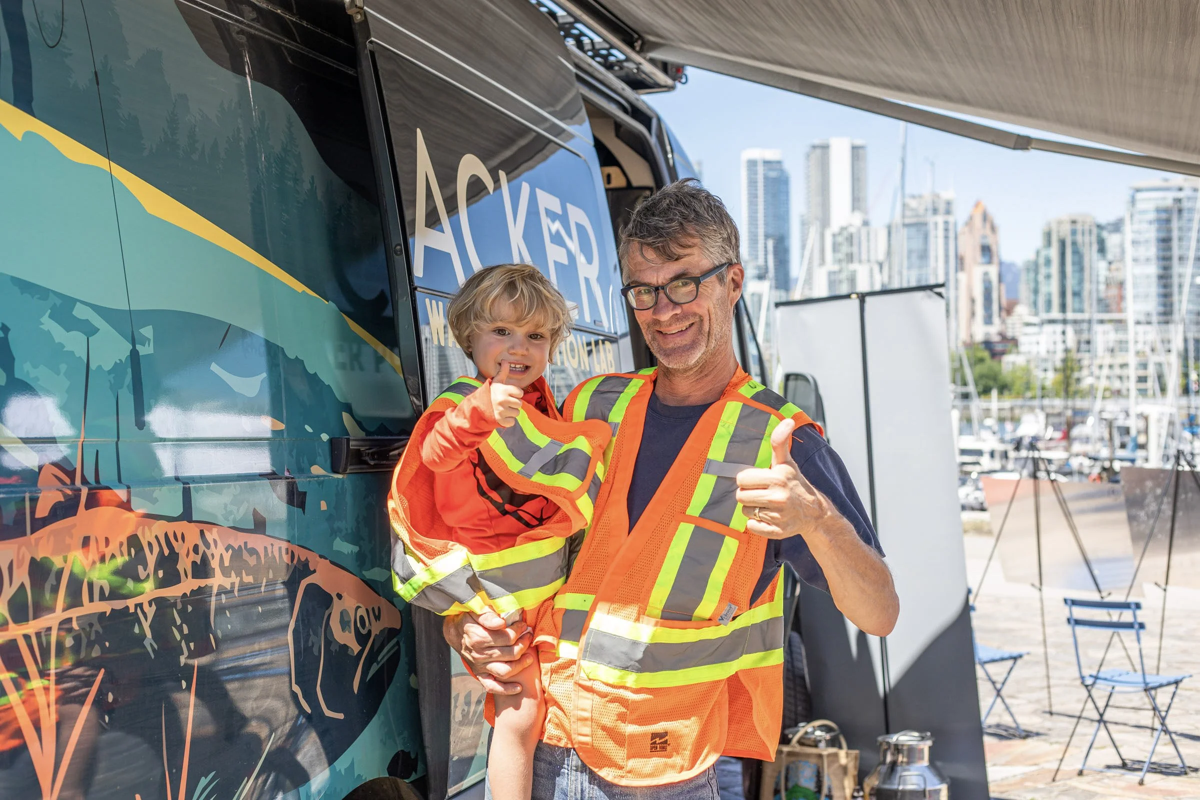
Join us for an amazing day of family-friendly marine stewardship, with more than a little help from our friends: Atelier Aloera, CoSphere, Georgia Strait Alliance, Langara College Applied Research Centre, Ocean Wise, Raincoast Conservation Foundation, and Water Rangers, plus a video installation by artist Julie Kim.
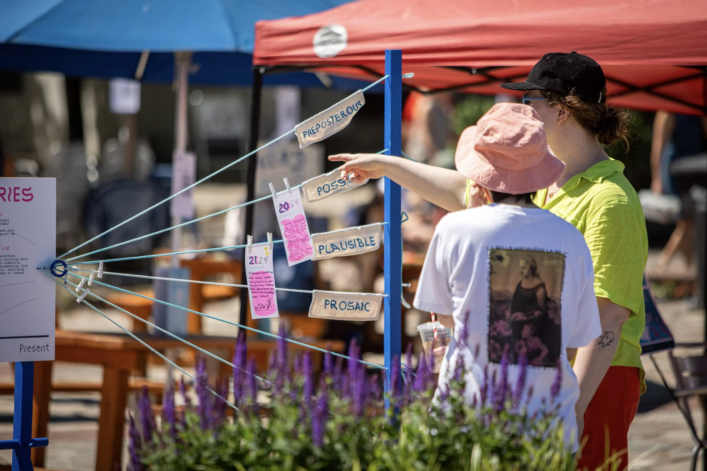
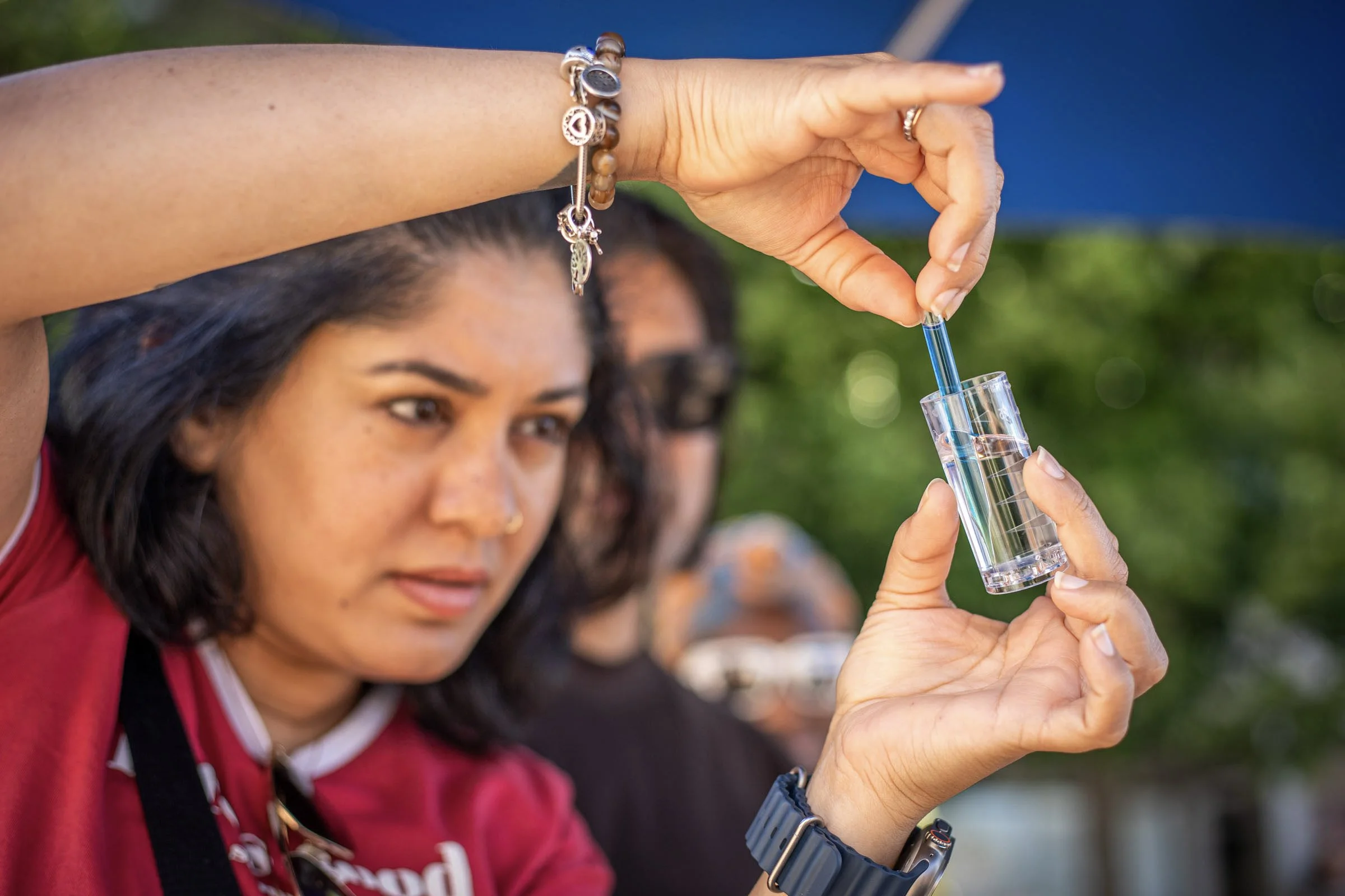
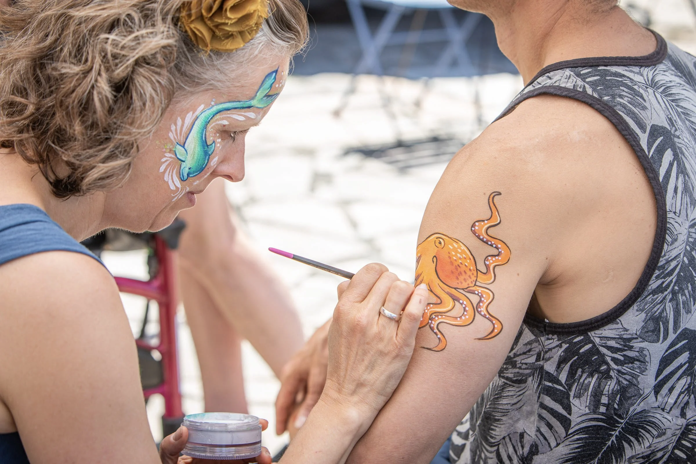
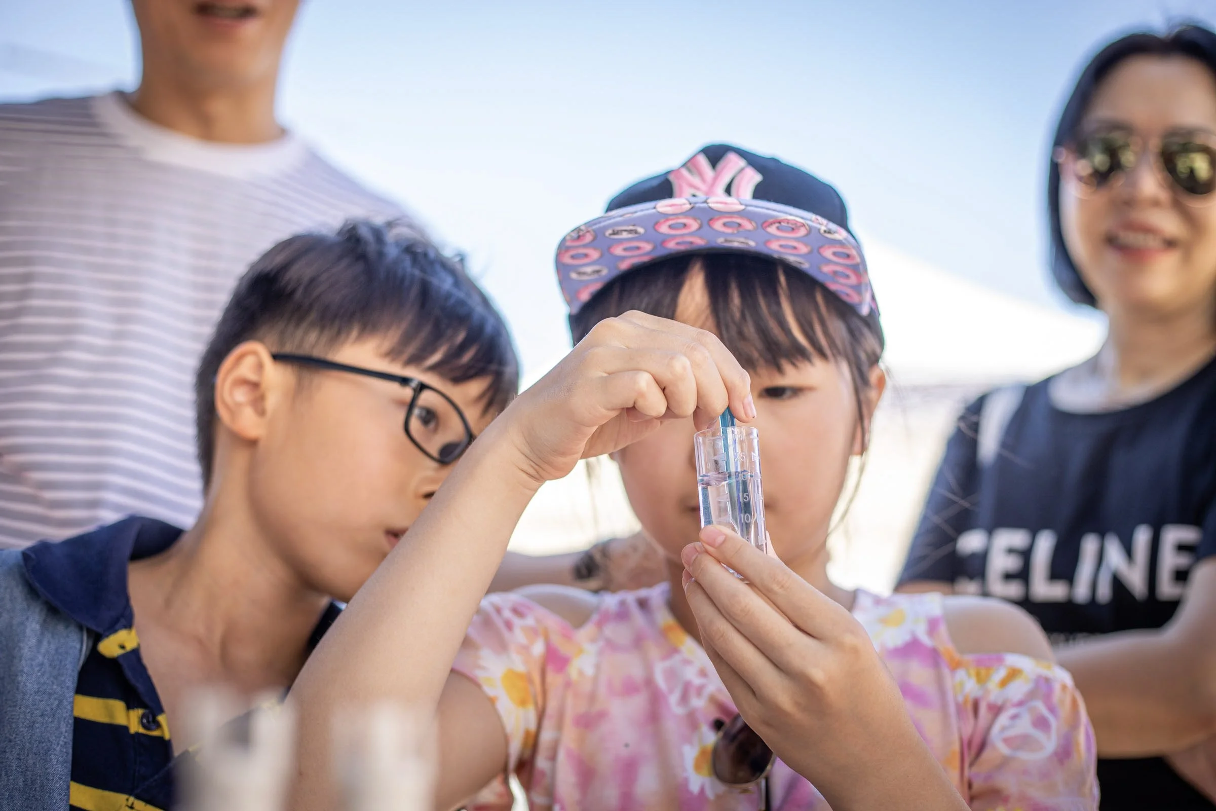
From 12-5PM, come learn about ocean health, water stewardship, citizen science, and build your connection with Vancouver’s most visible waterbody: False Creek. Expect water testing demonstrations, kid-friendly activities, face painting, and a giant, augmented reality floor map exploring "Ocean, Freshwater, and Us".
From 7-10PM, return for the premiere installation of YOU ARE HERE on Market Hill (a short walk South from the plaza). Inspired by the kelp forests of the Pacific Northwest, this video installation creates a quiet space where sound and movement unfold like water: steady, rhythmic, and grounding. A sound-led sensory environment, grounded by a living visual, YOU ARE HERE offers a brief pause within a fast-moving world, a place to reset, even for a moment.
Special thanks to the Centre for Ocean Literacy Collaboration, Water Rangers, and Ocean Week Canada for making this event possible!

![[False Creek Festival 2026] Organic Cotton T-Shirt](https://images.squarespace-cdn.com/content/v1/681681684050a33fcf405167/ffe64b4d-029e-49e1-bb1d-a34cda5a1d90/Shirt+preview+-+front.png)
Commemorate False Creek Festival & World Ocean Week 2026 with an organic cotton T-shirt!
Featuring a gorgeous 2-colour screen print on both chest and back (Designed by Aiya Snider and Ana Fowlie).
Save the credit card fees: this shirt is also available for $40 by e-transfer to info@falsecreekfriends.org, or cash at the festival.
NOTE: THIS SHIRT IS ONLY AVAILABLE FOR IN-PERSON PICKUP on SUNDAY JUNE 7th in Leg-in-Boot Square (12PM-5PM)